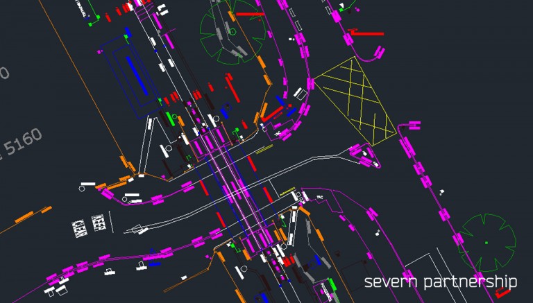
Topographical Survey & Clearance Gauging Survey Summary:
Severn Partnership undertook a topographical survey and clearance gauging to aid in the design and planning for the re-opening of the Portishead railway line to passenger trains.
The Metro West project includes rebuilding 5km of disused railway from Portishead to Pill and upgrading the Portbury freight line. Several additional stations will be added along the route.
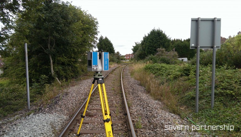
Project Overview:
The topographic survey required the installation of new survey control in the form of Permanent Ground Markers (PGMs) ranging from concrete bases with survey pins to survey nails in hardstanding surfaces. The installation included a network of three primary control points and twenty two secondary control points. The primary and secondary stations were all observed using static GPS observations followed by a high accuracy Total Station traverse and precise digital levelling.
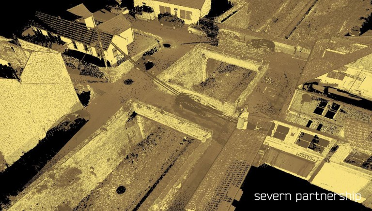
Severn Partnership then completed a full “fence to fence” topographic survey of the route that included:
- Full track survey
- All line side equipment
- Fence to fence topographic detail
- Laser scans of all overbridges and underbridges
- Laser scans of 4No. tunnels along the route
- Catch pit locations
- Under track culvert location and detail