Subsurface GPR Mapping Survey Summary:
In the UK, gas leaves the transmission stations and enters the distribution networks at high pressure and is transported around the country. The client in question, had a development in the vicinity of a 900mm high pressure gas mains. Under the advice from HSE (Health and Safety Executive), construction could not take place within 78m of the pipelines. The overall project aim was simple! Find out how far away this gas pipeline was from the client’s construction site.

Project Overview:
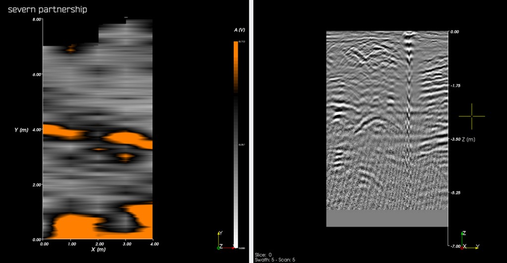
Upon arrival, a site walk through was completed to locate any gas pipeline markers to help determine where the gas pipeline entered and left the survey area. A RD8000 and TX-10 Generator were then used to induce a signal onto the pipeline so that it could be traced. The pipeline was traced for approximately 500 metres, with markings being sprayed on the ground every 10 to 20 meters to indicate the pipelines location and depth. Once the entirety of the pipeline had been traced a small section of GPR (Ground Penetrating Radar) was done. This was to verify the quality of the RD8000 depths by how well they corresponded to GPR profiles taken in the same location. The spray marks denoting the pipeline position & depth were then surveyed using a ‘real time’ corrected GPS receiver. The GPS data was then drawn up in AutoCAD and overlain on a topographic drawing supplied by the client. Processing was completed within a matter of hours and the final drawing was delivered to the client the very next day.
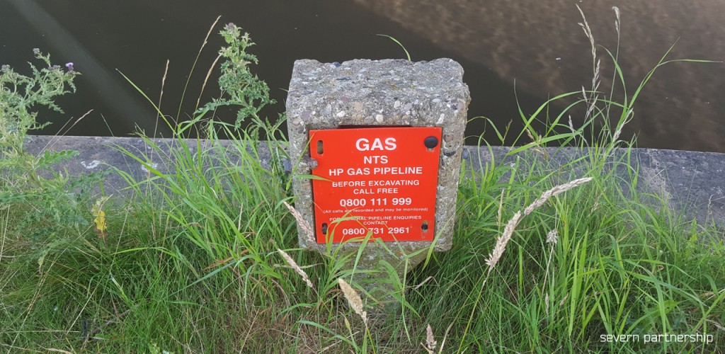
900mm High Pressure Gas Mains.
Challenges:
- Chest height vegetation made access and accurate location difficult.
Benefits:
- Results delivered the next day.
- Statutory Records were shown to be inaccurate and unreliable.
- Works on site were completed ahead of schedule.
- Client was able to determine if the Gas Pipeline was within 78m of the construction site.
Deliverables:
- 3D Utility Detection plan in DXF/DWG and PDF Formats
– Showing Detected route of gas main & 78m exclusion zone.
– Including above ground gas main markers and posts.
– Overlaid on existing client topographic drawing.