Mobile Mapping Level Crossing Survey Summary:
Surveying level crossings poses the unique challenge of working in both the Rail and Highway environments at the same time. Closing both is a costly and time consuming exercise, whilst using non-contact techniques often requires a compromise to what is visible from a position of safety. The level of risk is high in both environments.
Using mobile mapping Severn Partnership are able to avoid many compromises by measuring all detail whilst driving over the level crossing, during normal daytime hours from the safe confines of a vehicle.
Benefits:
No Track Access –
- Removes risk of working on the railway
- Reduces lead in time to site works
- Reduces cost of Track Access Planning and Safety Critical Staff
No Staff on Open Highway –
- Removes risk of working on open roads
- Removes the need for Traffic Management
- Reduces lead in time to site works
Better Data:
- Driving over the level crossing allows a near perfect line of sight to all detail
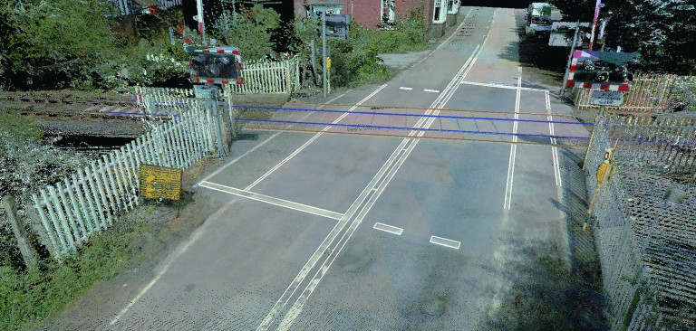
- A 3D Laser Scan Point Cloud of the crossing allows very high resolution ground profiles, overhead wire clearance, rut depth and pothole analysis
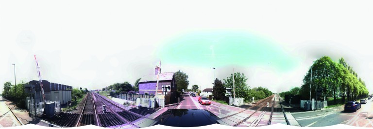
- Georeferenced Panoramic Imagery provides added value and situational awareness to the whole engineering team
- Close Range Pavement Camera allows Surface and Road Marking Condition Assessments, Construction Material and Type identification
Cost Savings:
- Significant increases in site productivity collecting data at driving speed
- An Office Based Digital Workflow reduces delays and improves time management
- More Data offers greater Return On Investment through reduced site visits