Topographical Survey for a River Restoration Project Summary:
A full topographical survey of Gilbert’s Weir on the River Lugg, which runs through Kingsland, and eventually joins the River Wye. The survey was undertaken to provide the Environmental Agency with more information on the weir and fish pass, as part of a river restoration scheme.
Project Overview:
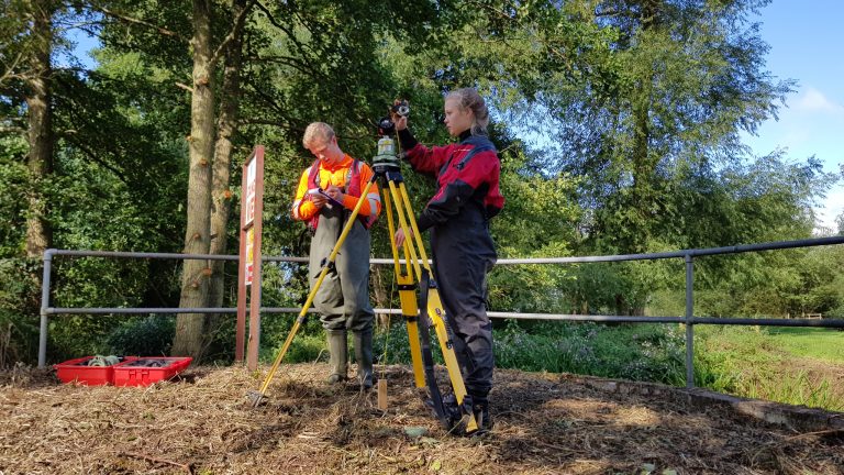
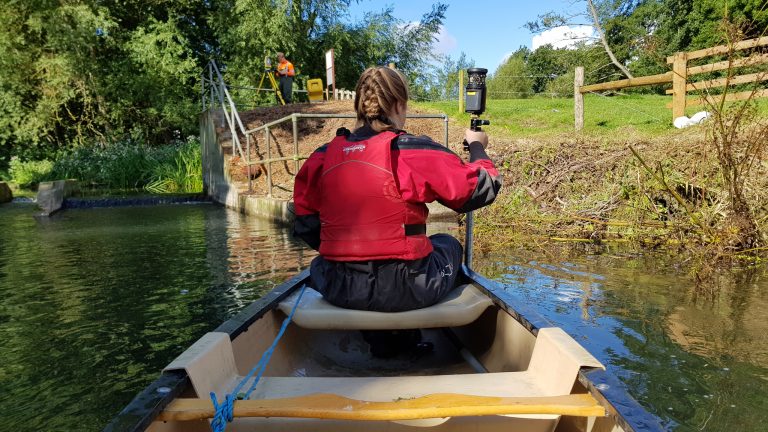
Four stations were set up using temporary control, these were coordinated using GNSS to provide an accurate location of the site. A full topographical survey of the banks, surrounding flood plain and any flood prevention features such as the large bund on the southern bank was undertaken using a Trimble S6 Robotic Total Station. Following this the upstream of the river was surveyed as it was shallow enough to survey in chest high waders. The downstream was up to 2.2m deep so was surveyed from a kayak using a long pogo. The full extent of the concrete structure underwater was surveyed from the up and downstream of the river to provide the Environmental Agency with a detailed 3D view of the weir.

Benefits:
- Fast turnaround, 2 days surveying, 5 days processing
- GNSS coordinated survey
Deliverables:
- CAD plans showing cross and long sections
- Topographic CAD plan