Multi-disciplined Flood Defence Survey Summary:
The site in question was an area just north of Exeter known as Hele. Hele is home of a number of businesses and residential properties that are adjacent to the M5 motorway and MLN1 railway line.
Project Overview:
The overall aim of this project for our client was to design a flood prevention scheme. The railway, local businesses and residential areas are prone to annual flooding from the nearby River Culm. This causes major logistical issues to the local village and disruption to national rail transport links.
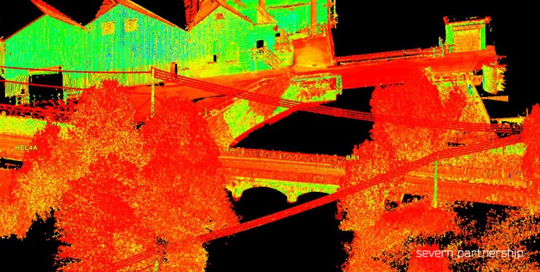
The client required a full Utility Detection Survey in specific areas to map all detectable services. This allowed the design team to plan further ground investigation works as well as the final flood defence measures. A full Topographic Survey was also completed with Laser Scanning utilised to de-risk surveying in highway and railway environments.
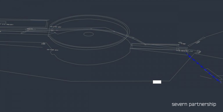
The area required for survey included roads, pavements, car parks, buildings, open grassy areas, marsh areas, sewerage works and 800m of railway all surrounding the River Culm.
Specification Included:
- Installation of ground control.
- Survey control co-ordinated by GNSS and mapped with high precision total stations.
- Topographical Survey.
- Ground Penetrating Radar (GPR) survey.
- Post processing, analysis and interpretation of GPR data.
- Radio Frequency Location (RFL) using passive and active cable detection techniques.
- Visual inspection of manhole chambers for verification of service type and depth.
- Drainage tracing survey using Cobra and Sonde.
Deliverables:
- 3D AutoCAD drawing – Utilities overlain on the topographic base-map.
- Utility Detection Report – Detailing methods used, data quality review, highlighting areas of interest, evaluation of traced utilities against Stat plan information and further recommendations based on the client’s objectives.
- Manhole Schedule, including photographs – Schematic drawing and photograph of all manhole chambers including, invert levels, flow direction and notes on condition.
- Digital Terrain Model – Allowing design teams to calculate volumes of water required before infrastructure floods.