Topographical Survey:
An essential starting point to changing the use of any piece of land is a high quality, accurate, up to date plan drawn at an appropriate scale – a topographical (topo or topographic) survey. The plan must be accurate in every detail, showing all features that are relevant to the development. The survey information must then be provided in a form that is most easily understood by the client.
To minimise time on site and maximise data capture, we combine UAV survey with Utilities tracing, laserscanning and RTK GPS – balancing the right tools for each project.
Innovation
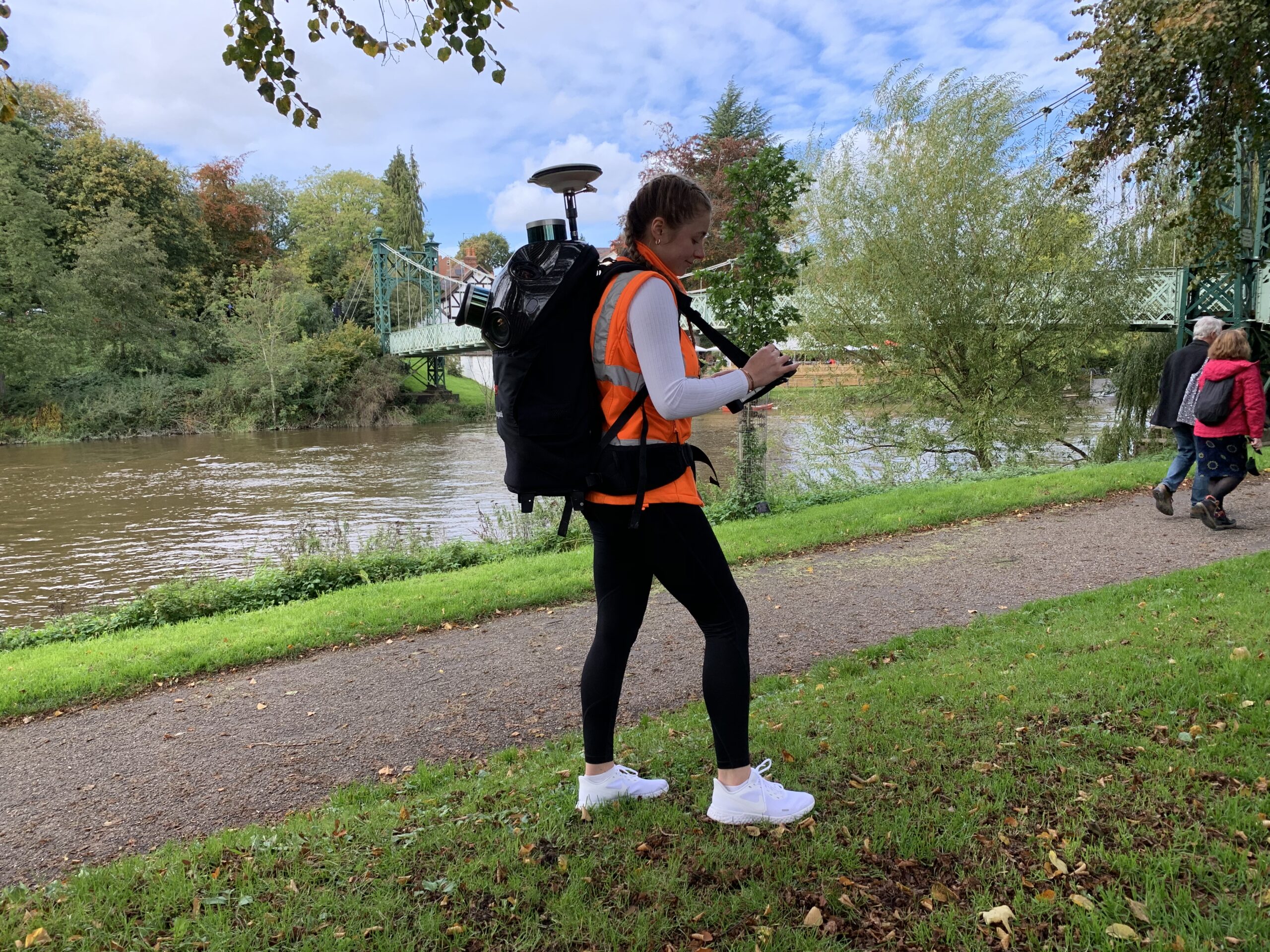
We remove boots on the ground and save site time by employing mobile mapping, UAV and reality capture workflows. Saving on some jobs up to 80% of site time and transferring the digitisation of CAD plans from site to the office.
Added Value
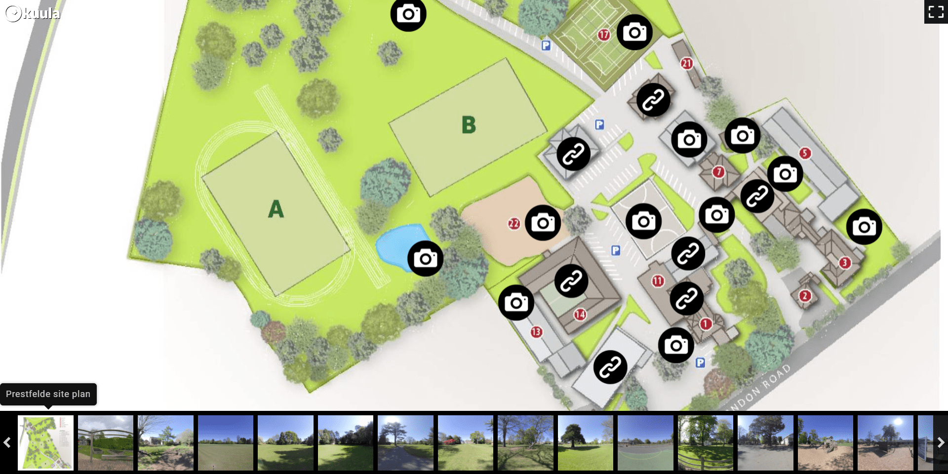
How about re-using your topo survey plan for safety briefings, tender packs or as a management tool. Send us your plan as a Jpeg, PDF, DXF, DWG or DGN file and we can transform it into a site Virtual Tour with 360 panoramic images and even embedded 3D matterport tours.
Quality
We employ a team of surveyors who have trained to our rigorous quality assurance system, IIP assessments, continued professional development and RICS regulations. The result is a surveyor on site capable of providing the right high accuracy data for your needs. All projects are supervised by RICS qualified Chartered Surveyors who manage the definition of the survey mapping specifications prior to field work.
We have completed projects from one team working for a day on a small rural building site to four teams working for two months in busy city centres. Whatever the scale, all projects need to start from a well defined and agreed survey topographic specification. Our experience means that we may often survey more than is asked for; for example if we know that the ridge and eaves height of adjacent properties may be important for planning purposes.
The Deliverables
- Hard copy colour plan at defined scale (1:50. 1:100, 1:200, 1:500, 1:1000, 1:1250)
- Contours plotted
- Topo Survey linked to O.S National Grid if required
- Digital data as DXF or DWG file
- MX Moss data GEN file
- Witness diagrams and station descriptions
- A well installed, secure network of survey control stations (for future work)
- Telephone support after delivery