Mobile Mapping without Traffic Management Summary:
Six junctions and over 40km of the M25 mapped without traffic management. Junctions 9-11 and 24-26 are concrete paved sections of the M25 which required detailed mapping to accurately identify all joints between concrete slabs. Using the Leica ‘Pegasus:two’ Severn Partnership completed all site works outside of peak traffic flow, without the need for Traffic Management or any staff working on the open highway outside of a vehicle.
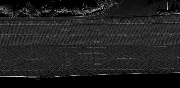
The final Laser Scan Point Cloud was accurate to +/-20mm with a resolution of 10mm enabling the concrete slab joints to be accurately located, including the step change in height between slabs to confidence level of +/-10mm.
To create the same dataset, to the same level of detail and accuracy, using traditional methods would require 16 team shifts with traffic management. Using Mobile Mapping Severn Partnership completed the works in 4 site shifts without the cost and disruption of traffic management, or the risk of staff working on the open highway.
Benefits:
- 75% reduction in site time
- No Traffic Management
- No Staff working on the open highway outside of a vehicle
- Reduced lead in time to site works with reduced risk
- High resolution data can be used for extraction of full topographic detail without further site works
- No detail missed with a full 360 Point Cloud
- Point Cloud data can be used as a basis for BIM modelling