BIM4Infrastructure – Teme Viaduct Summary:
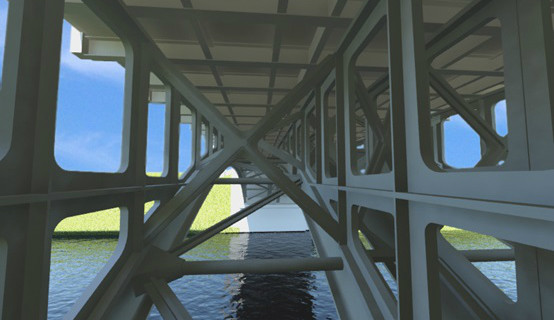
BIM for Infrastructure project of a complex girder bridge. Using 3D laser scanning to rapidly capture the 3D geometry on site and Revit to convert the Scan2BIM.
The survey team carried out a Topographical survey (Survey4BIM) and established survey control consisting of PGM’s and TMG spigots related to a local survey grid. The bridge at Rail level and River level was then 3D laser scanned to allow a fully registered point cloud to be created. A point spacing of approximately 5 to 10mm was achieved over most elements, with individual point accuracies of +/-3mm using our latest Leica P20 laser scanner.

For the purpose of BIM4Infrastructure, the bridge was modelled in 3D by means of point cloud manipulation and data interrogation, Autodesk Revit was utilised to create bespoke components of the Victorian bridge. The 3D modelling proved to be a rewarding challenge due to the Victorian design and age of the structure and the many complex facets. Not a standard Revit family in sight!
Final Deliverables:
● Control Station Witness Diagrams
● Fully registered 3D pointcloud in compatible formats
● Autodesk Revit 2013 BIM