LeanGeomatics
The geospatial industry has benefited from an influx in technology over the last 10 years, even more so in the last 3 years. This has enabled Severn Partnership to change data capture methods and improve work flow termed ‘LeanGeomatics’.
The results being a faster way of working, safer and reduction in costs across the supply chain.
Network Rail – Our end client
This week our teams are working on the Dawlish to Teignmouth project. They have limited time to survey road, rail and even the sea. To do this we have mobilised a full arsenal of the latest technology ensuring all the areas are surveyed safely, fast and accurately.
What survey technology is being used?
Mobile mapping , fast, safe reality data capture.
In its simplest form, Mobile Mapping combines Laser Scanning technology with GPS and Motion Sensors into a single unit that is easily mounted onto any vehicle. This vehicle is then simply driven around the chosen area at normal speed, generating a Point Cloud as it goes.
How is the approach beneficial? To understand the benefits, the original challenges need to be reviewed.
- Access – none is required because it acts in the same way as any other public vehicle
- Safety – All data is collected from the safety of the vehicle
- Speed – Mobile mapping an area that takes days or weeks by static methods, now take only hours
- Cost – The speed of data collection, means less cost
- Discretion and security – The vehicle drives the route with no disruption, compared to teams of surveyors showing a presence in a public place for extended periods
The result is obvious. Mobile Mapping is a rapid data capture solution that offers a viable solution in many situations.
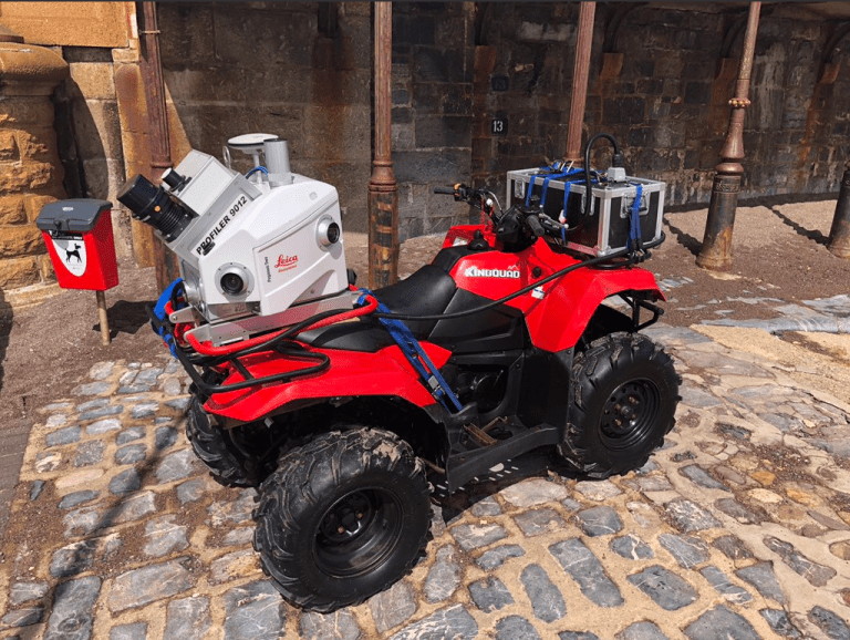
Mobile Mapping on a quad bike
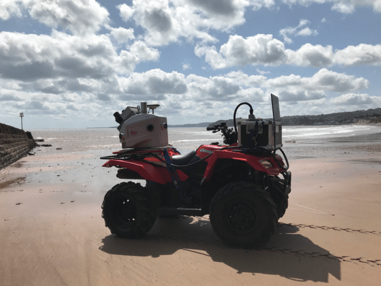
Mobile mapping on a quad bike on the beach – Fast and safe in a time sensitive environment
Ground Penetrating Radar Array
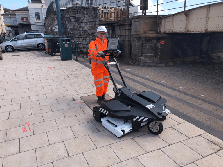
GPR mass rapid data collection with the Stream C