This project required a 5km section of the A14 Highway to be surveyed for the purpose of resurfacing.
Challenge
The section that required surveying was through two busy road junctions, often congested on the slip roads. The challenge was to survey the 5km with minimal disruption to the public.
Overview
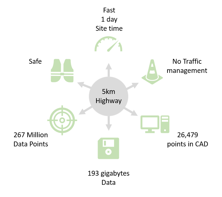
Mobile mapping was the only solution, that could provide the accuracy required, quality data and be a safe fast solution. By using a mobile data capture platform on a vehicle, the 5km section was completed in 1 day. The accuracy was sub 10mm , delivered as 3D CAD to the client in less than 2 weeks.
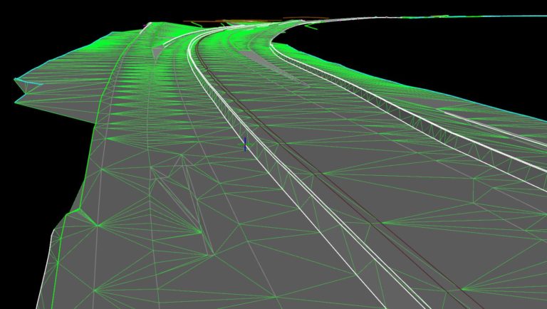
Below is an image showing the carriageway with the Digital Terrain Model (DTM)
For further information on how we can offer ‘Value beyond Measure’ and reduce your:
Cost
Carbon
Casualties
Please contact our Commercial Manager Steve Jones:
steve.jones@severnpartnership.com