In Brief:
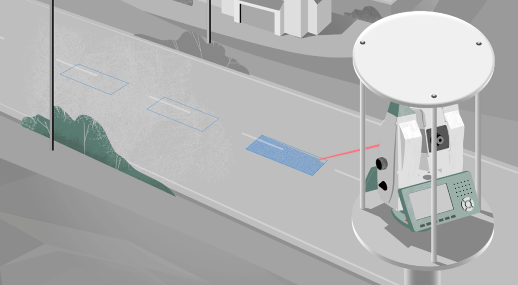
New technology uses high accuracy automated ‘patch’ laser scanning to monitor hard-to-reach sites, inaccessible roads or the monitoring of heritage buildings (Grade One listed) where targets cannot be drilled or stuck to surfaces. It also enables monitoring of complex surfaces such as bowing walls and bulging plaster ceilings – all done quickly and remotely.
The monitoring systems can be automated and solar powered to send results and warnings direct by interactive dashboard, emails or text alerts.
In Detail:
When monitoring heritage buildings, protected structures and hard-to-reach areas, we need to monitor remotely without attaching a physical prism or sensor. Conventional 3D laser scanners can be used for this purpose, but are not able to be used in an unmanned, automated way, so would be labour intensive and not a viable solution long term.
The Leica Geosystems ‘Nova MS60 multistation’ fills this niche and combines a conventional automated total station with inbuilt contactless 3D laser scanning of a defined surface as part of a monitoring regime.

The individual 3D target observations and 3D point cloud scans are sent via an on-site communications unit to the Leica GeoMoS cloud-based monitoring software. This is then able to automatically process the scan cloud data to enable near real-time deformation information.
Scans are then compared to baseline readings to track deviation between surfaces and trigger deformation warnings. This process is similar to the use of Isopachyte contours for measuring land settlement over time. Displacements are calculated perpendicularly to the surface observed, allowing the results to be computed in respect to normal vector values.
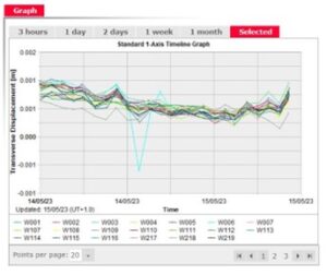
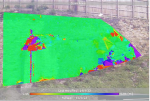
The monitoring results can be viewed as a heat map (above), showing colour-coded deformations and timeline graphs displaying statistics for Median deformation, Maximum deformation and deformation volume between point cloud surfaces. In this example of a 3d point cloud ‘patch’, the red area shows a heat map) warning colouration for movement from the baseline scans. However, the main red area in question in this case results from a removal of mechanical equipment present in the baseline scan. Stressing the need for knowledgeable oversite of any monitoring regime.
Where no conventional dimensional control is available, the surveyor is able to define small scan areas (patches) on stable areas of the historic building front, side and eaves (three areas nearby on perpendicular surfaces) or any other heritage structure. This provides an automated method for the scan cloud to be aligned and quality checked by cloud-to-cloud comparison. Once the alignment is confirmed, then the latest time stamped scan can be observed the same way as a total station would use resection observations from three or more targets.
Summary:
Monitoring by repeated ‘3D Patch scanning’ can be done as repeat visits or set up in a secure location to automatically operate 24/7 with no manual operation needed. Reporting is to a web dashboard, with data uploaded to the cloud from a local solar powered communication box.
Do you have a project where conventional techniques do not fit with heritage building requirements, safe access to roads or historic crumbling walls? If so, our in-house Monitoring team are able to advise.
Learn more about our Automated Monitoring services here, or head on over to our contact form to get in touch.