Mobile Mapping – Surveying UK Highways Summary:
Surveying of UK roads by traditional survey methods has been a core activity of Severn Partnership work for many years. In April 2015 Severn Partnership were tasked with surveying 10km of busy highway in North London, including 50 metres of every side road and car park along the route. The area is notoriously congested and suffers from crime hot spots, adding to the survey challenge.
Severn Partnership utilised the latest Pegasus:Two survey grade Mobile Mapping system to complete the survey, whilst retaining +/-10mm absolute accuracy through the use of a robust survey control network. The system integrates Laser Scanning and Calibrated Imagery to capture a complete data set from which to carry out digitising.
Mobile Mapping meant no traffic management was required for the survey, allowing site works to commence with a short lead in time whilst retaining quality and safety standards.
Additional Site Work:
- Primary GPS control network
- Traverse and Level survey stations in between the fixed primary stations
- Ground Control Points surveyed to verify, and where required tie down, the mobile mapping data
- On Site GNSS Reference stations for reliable Trajectory Calculations
- Topographical survey data infill data under parked cars or other inaccessible areas
Laser Scan Data:
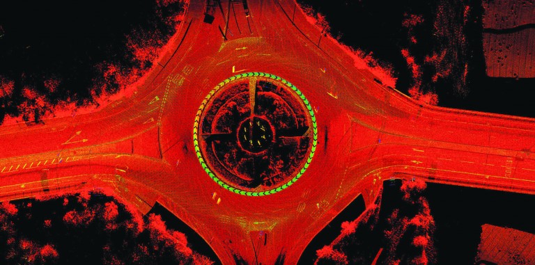
- 3D Point Clouds in usable formats (PTS, LAS, POD, RCS)
- Data delivered in manageable tiles with simple naming system
Benefits:
- Reduced footfall on site
- Completed in 10 site shifts. Traditional methods would require an estimated 50 site shifts, an 80% saving in site time
- The majority of work shifted to office based digitising, or ‘Virtual Surveying’
- Safe environment, with consistent working hours and lower overheads
- No traffic management required, reducing lead in times, overhead costs and public disruption
- Raw Data set can be re-used
- GIS Asset Mapping or Road Surface Condition Assessment or Clearance Analysis
Deliverables:
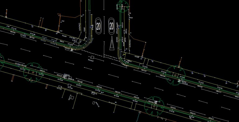
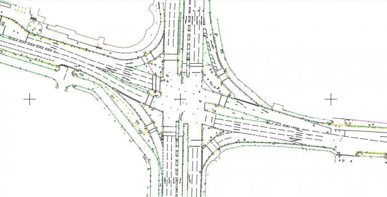
Severn Partnership provided 3D CAD drawings and scan data to the client, with a full survey report detailing procedures and accuracies achieved. The drawings contained:
- Top and Bottom of Kerb at 5 metre centres, including drop kerbs
- All road markings
- Ground levels every 5 metres
- All service covers up to back of pavement
- All street furniture up to back of pavement, including signage
- All surface types and changes