Overview
The University of Cambridge New Museums site is situated in the heart of Cambridge. The campus hosts impressive academic heritage that includes ground-breaking research and discoveries. The current site is dated, with a collection of low and high-rise buildings connected via small bridge links and alleyways. The site is well developed, with poor accessibility and little outside space. The multi-million-pound vision to redevelop the site into an attractive and sustainable environment for working and learning includes demolishing some of the mid-century architecture, whilst retaining the beautifully designed Grade II listed facades.
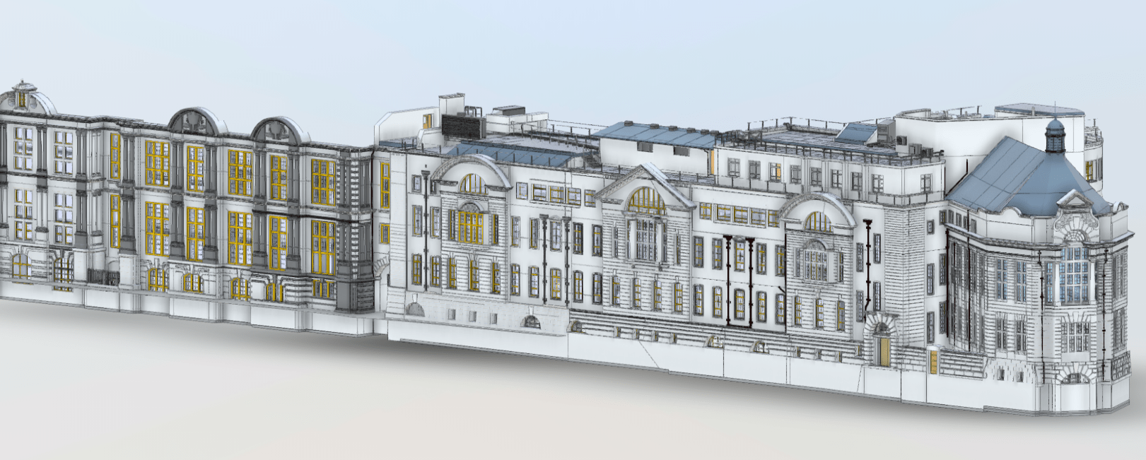
Severn Partnership were commissioned by a London based architectural practice to undertake a 3D laser scan the whole site. Also within the scope was to produce a 3D model for each building scanned, paying particular interest to the ornate features which are paramount to retain. In order to maximise the archiving potential, Severn utilised an NCTech istar imager to colourise the point cloud.
The 3D models will be utilised for preliminary designs to support planning applications, structural integrity, refurbishment/demolition works and spatial analysis. Severn Partnership will return in one year’s time to capture data in the post-demolition phase. This will aid the detailed re-design and structural analysis of the demolished and associated buildings.
The final 3D model will eventually be handed over to the facility management team who will utilise the model and accompanying datasheets for future requirements such as planned maintenance and spatial coordination. All elements have been named accordingly to Uniclass 2015 conventions, alongside COBie data spreadsheets. Detailed 2D elevations have also been created where 3D models were not necessary.
Site Facts
- 500 + scan set ups in total
- 10 days on site
- iStar imager utilised for efficiency
- Scanners included Leica P20 & Z+F 5010C
- Access arranged by Severn Partnership –
- no room closures necessary.
Deliverable’s
- 2D elevations sections and floor plans
- Intelligent 3D Revit Model
- RGB Point cloud
- Leica TruView
