Topographical and Culvert Laser Scanning Survey Summary:
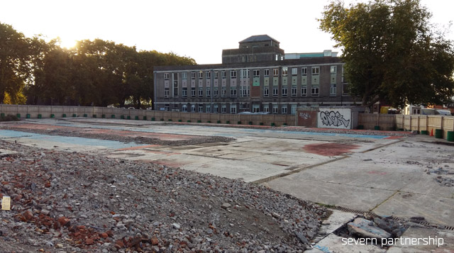
Severn Partnership was approached by a company to scan a large culvert, which ran underneath an old ambulance station in Bristol centre. The site had been demolished ready to provide space for new housing/apartment blocks, but the location of the culvert was affecting design plans.
Project Overview:
Our remit was to provide a topographical survey of the site extents including the surrounding roads, and a subsurface scan of the culvert. The client had provided four holes cut in to the concrete base above the approximate line of the culvert. We utilised an upside down tripod to allow us to attach a Leica P20 Laser Scanner and lowered it down in to the culvert, this allowed us to produce a subsurface scan (which was rather risky).

Ongoing works: This initial survey and scan allowed us to provide extra detail in the form of a 3d topographical model of the scanned culvert.

We have since revisited the site, to set out particular points to mark out the extents of the culvert using the existing control to make sure they avoid it when designers start the site plan.