Scan2BIM – Rights to Light Survey Summary:
A right to light may be acquired by ‘anyone who has had uninterrupted use of something over someone else’s land for 20 years without consent, openly and without threat, and without interruption for more than a year.’
If you think a development may affect your availability to natural light, you should be instructing a RICS accredited Rights to Light surveyor to make an assessment as to how much loss there may be, and if you therefore have a case strong enough to go to court.
Project Overview:
The best and most accurate way to make these assessments are by collecting as-built data using 3D laser scanners. Currently, this is not always considered, as many assume costs outway the benefit to perhaps a more traditional survey. However with continuing advancements in technology, 3D laser scanners have become far more efficient and accurate, therefore reducing time spent on site, whilst enhancing quality. This has allowed the process of capturing data with 3D laser scanners very cost effective. Static scanning is a manual process which includes strategically placing laser scanners on tripods in multiple places to gain a full site coverage. The time taken for each scan will vary depending on the specification and settings used. If the point cloud is required in RGB (colour) this becomes a much longer process, with each basic scan taking up to 6 minutes. With rights to light often covering large areas; this can become a lengthy and therefore expensive process.
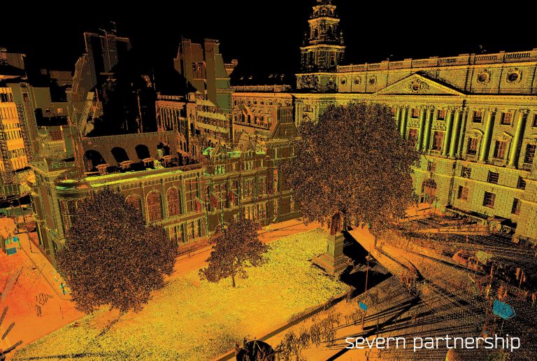
Severn Partnership continually invest in the latest technology to maximise the efficiency of data collection and quality of our point clouds. In 2015 Severn invested in the Leica Pegasus:Two mobile mapping unit. Mobile Mapping technology allows the collection of 3D Geospatial data from a moving vehicle platform. Satellite positioning is supported with an Inertial Measurement Unit generating a smoothed Vehicle Trajectory, to which a 3D Laser Scan Point Cloud and calibrated imagery are synchronised. This technology collects a vast amount of data in a very small amount of time; which is perfectly suited for Rights to Light assessments.
“Consider value added through mass data collection – re use your data.”
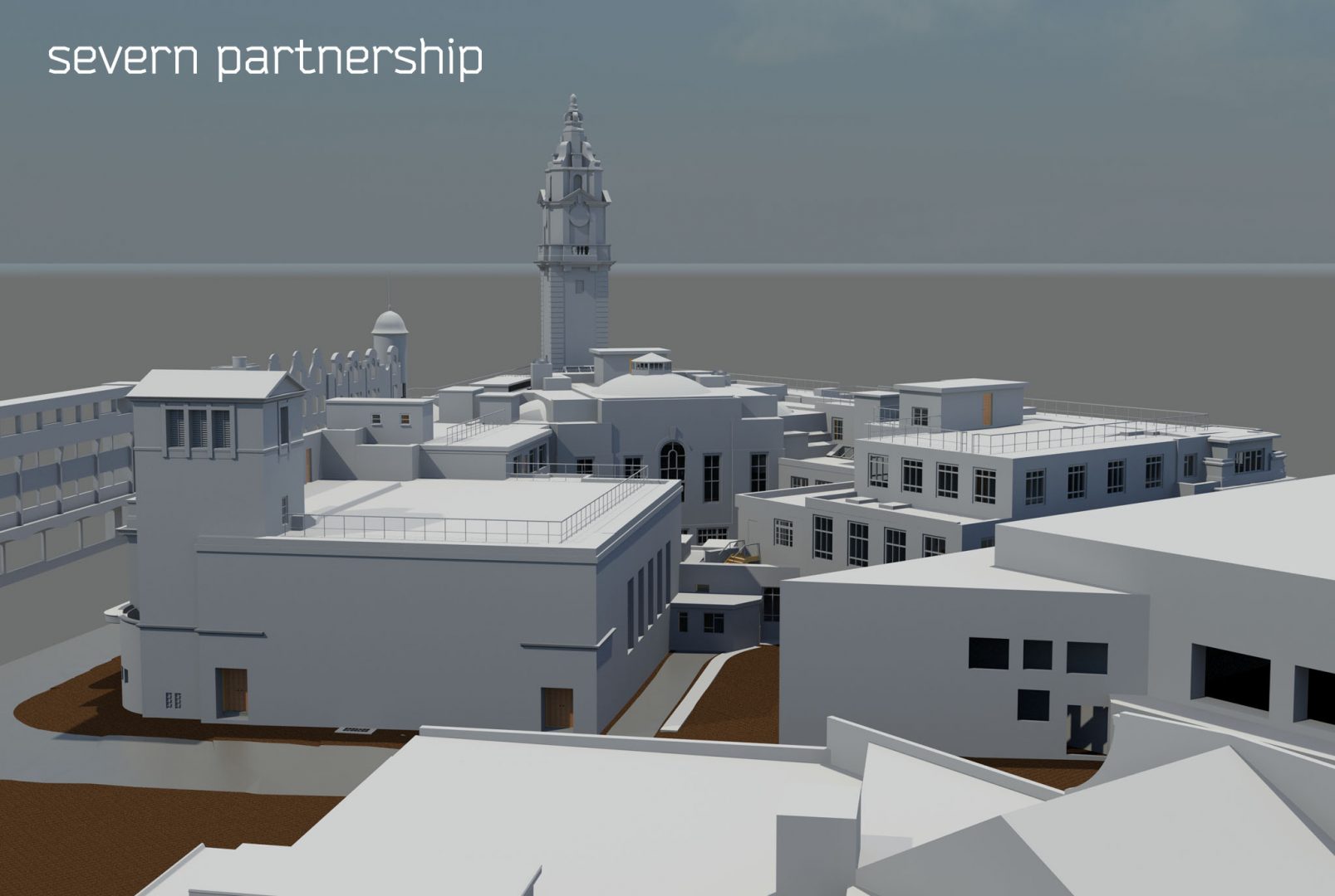
Whilst data capture is a highly technical process, the point cloud is not intelligent without manual manipulation. Much like the advancements in technology, which have allowed laser scanning to become far more cost effective, 3D modelling is beginning to go the same way. Severn are able to produce all standards of models; LOD 100 – 500, depending on necessity. Low level of detail 3D models, simply showing major components and openings are produced incredibly efficiently using point cloud data. Most Rights to Light surveyors will utilise three-dimensional modelling software packages to calculate how the existing light will be affected by any proposed change in the way light enters the building. By working out the amount of light left, it is possible to assess how much compensation might be paid.
The added value you gain from mass data collection and modelling must also be considered, taking into consideration the momentum the government strategy is gathering. Level of Detail can be developed as well as adding component information.