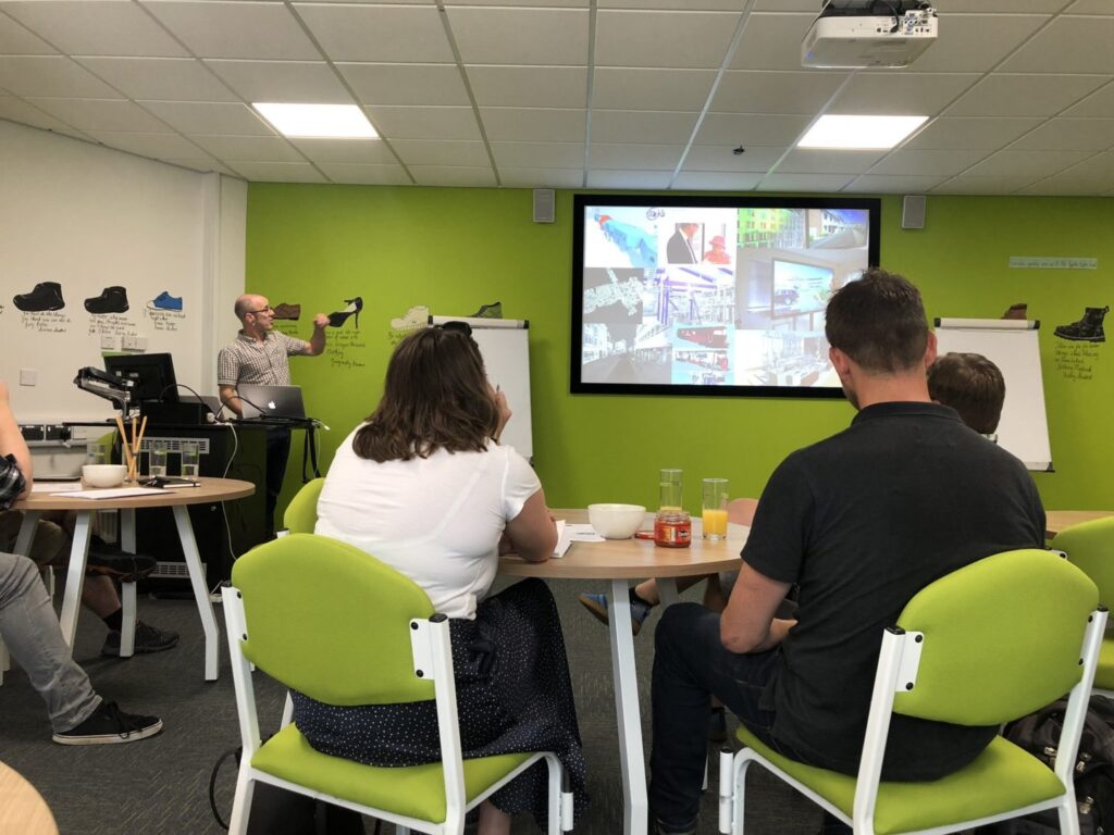
Last Wednesday we saw some very creative and passionate members of our team and the local council express their knowledge around 3D Visual AR & VR technology and 3D Data at Shrewsbury’s first Geospatial Forum, around Visualisation of Geospatial Data.
Nigel Moore, Technical Director at Seeable
Delved into the AR & VR remit, showcasing work the team has done working with Severn Partnership. Taking Point cloud data with geospatial accuracy within the real world, to create 3D modeled replicas of a factory, where AR & VR technology can be used to better organise, large areas of a factory floor. This has been used in a glass-making furnace where they replaced post-it notes on a whiteboard to show what machines, areas, and teams were working.
Nathan Handley, Visualisations Developer
Nathan, went on to talk about how he uses his short, but vast experience to create, baked textured, renders for the National Trust. Straight out of college, Nathan has been working with Seeable to create some visually pleasing, Architectural models and Landscapes.
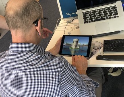
He explains the software and know-how for the National Trust project, where the building isn’t structurally safe for the public, giving them the potential to maximize, customer experience of the site using digital tools without the need for WIFI or 3G.
3D AR & VR app
3D Data, VR & AR, 3D Models
Shropshire councils strategic development lead
Richard James, Finished up with how the council uses, 3D data with strategic Health & Wellbeing of the Shropshire Community with an ever-increasing elderly population. Sharing with us a 3D model, of what the next urban community would look like, in the not so distant future.
Three great knowledgeable speakers with a huge amount of information to take in.
Shrewsbury Geospatial forums’ next event is around Air Surface and Subsurface Hardware Equipment.
We have Chris Greenhalgh speaking and two others TBC. This will be another interesting and insightful event for those who have a watchful eye on Geospatial technology and information.
The Shrewsbury Geospatial Forum is an informal professional business networking group aimed at shaping education programs, with links to the Centre for Research into Environmental Science and Technology at University Centre Shrewsbury (CREST@UCS).
Please see their website for future events and tickets.