Severn Partnership – Laser Scanning RICS Building Summary:
Severn Partnership have recently been commissioned by RICS to complete a full 3D laser scan and 3D model of their Head Quarters in London.
The as-built survey of the grade II listed building (dating back from 1899) captured all complex elements, such as split levels, ornate stairwells, architectural ceilings and facades. The information has been translated into a 3D BIM format with attached information, providing the basis for scheduled maintenance, any future development, facilities management, archiving records and spacial analysis.
Project Overview:
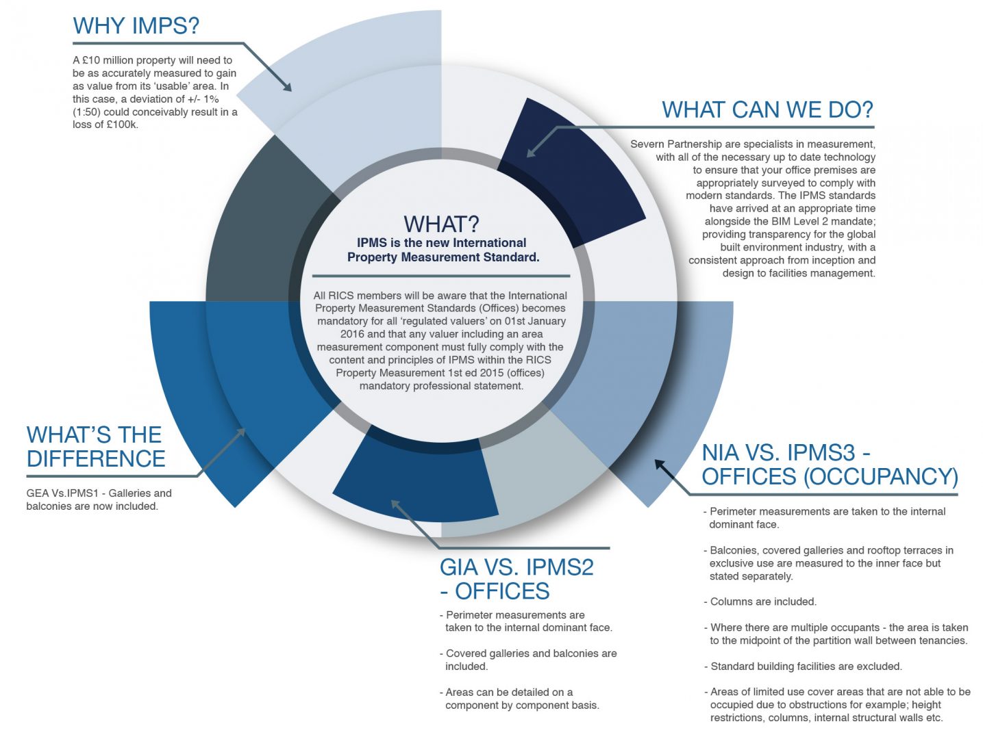
As well as the 3D model, Severn Partnership also provided RICS with 2D floor plans, annotated accordingly to the IPMS regulations, alongside accompanying room schedules showing the specific details of each space.
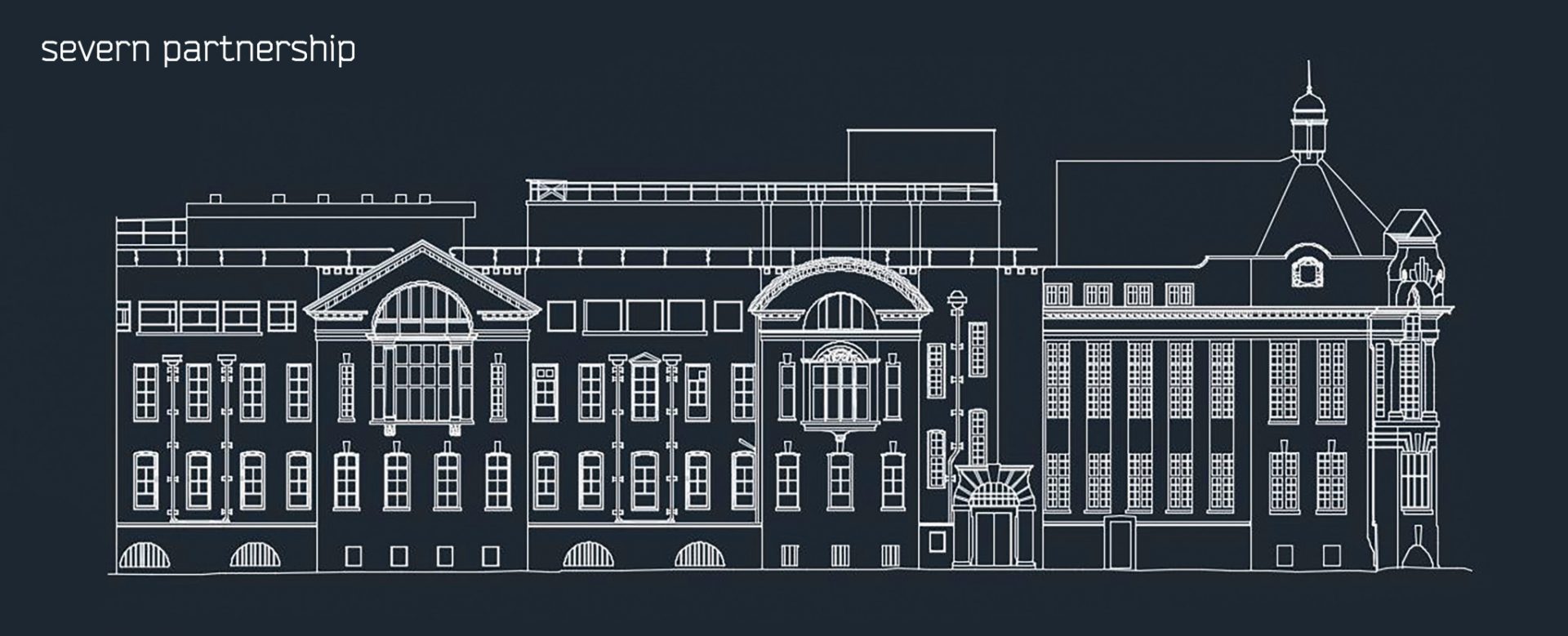
3D laser scanning is a highly technical process which includes having to install a survey control network & levelling to ensure the accuracy in height and position of the point cloud is maintained. In order to ensure that there is full coverage, our scan2BIM surveyors will place the scanner in a number of locations around the site. Each laser scan is then registered together against the survey control to create a single unified point cloud of the building or asset. The point cloud is simply an as-built 3D measurement tool which requires manual manipulation to become intelligent. Using the point cloud, 3D solid elements are modelled and assigned attribute information, which provides the basis of a building information model, allowing you to extract 2D elevations, sections and floor plans.