Mobile Mapping – West Coast Mainline Railway Summary:
January 2016, Severn Partnership were instructed to undertake a 3D Laser Scan of a remote rock cutting on the West Coast Mainline near Shap Summit. The deliverable was a 3D Laser Scan Point Cloud for Geotechnical Analysis, therefore point density and minimum shadowing were of critical importance.
Project Overview:
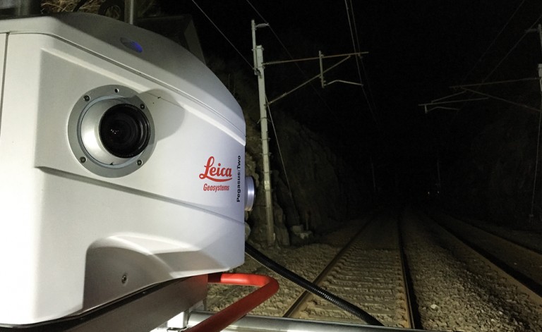
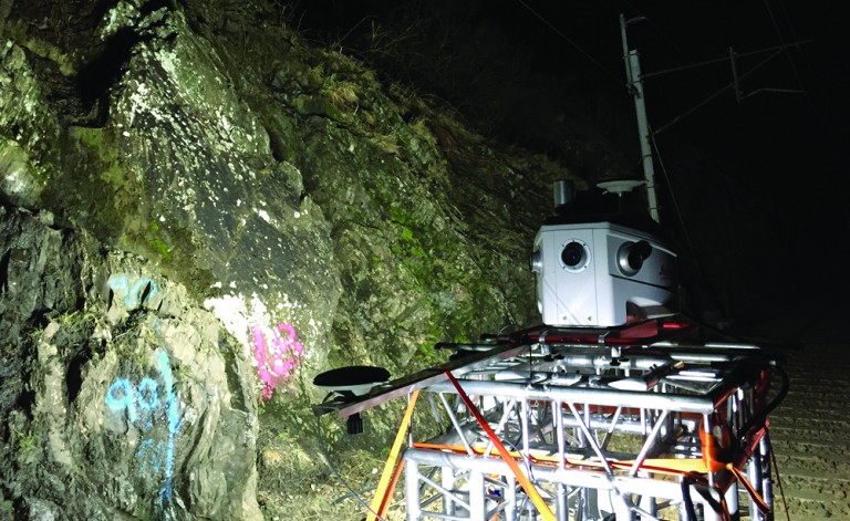
By using the Pegasus:Two survey grade Mobile Mapping system, which records data at 1 million points per second from a moving vehicle platform, Severn Partnership completed the survey in a single night time possession without interrupting other maintenance works in the area.
An added benefit of using a mobile system meant the remote site was accessed quickly despite being over 1 mile from the nearest access point.
Technical Services:
- Detailed Risk Assessment and Method Statement (RAMS) input into the Works Package Plan (WPP)
- Provision of PTS and COSS certified Surveyors
- On Track Vehicle with POS and Operator
- Local GNSS Reference Stations
- Dense 3D Laser Scan Point Cloud in LAS format
- Survey delivered on Ordnance Survey Grid and WCML Snakegrid
Benefits:
- Efficient data collection reduced site access time to within 1 shift
- 50% reduction in site time meant fewer staff visits to site and less Track Access Planning
- Scanning from a moving platform significantly reduces shadows and increases point cloud density, resulting in a superior dataset
- All detail captured including cess detail, ballast profile, structures and vegetation, allowing for additional deliverables without the need to revisit site
- Survey grade mapping – Sub 20mm global accuracy, delivered to the WCML and Ordnance Survey Grids