Subsurface Mapping – Locating Cables Rail Survey Summary:
The site was located on a section of railway near Gainsborough. A number of cables and cable ducts ran within the embankment, both above and below ground. The accurate surveying and positioning of these cable routes were critical for the design and implementation of remedial works to prevent further cresting and slipping of the railway embankment.
Due to the curvature of the rail and the gradient of the land, ballast was slipping down the embankment and falling into adjacent fields. Several ideas were put forward to prevent further cresting and slipping of the embankment. These included installing a retaining wall, reducing the bank gradient and using pins to stabilise the embankment.
All these potential options required the accurate locating and surveying of services along an approximately 1 mile stretch of embankment.
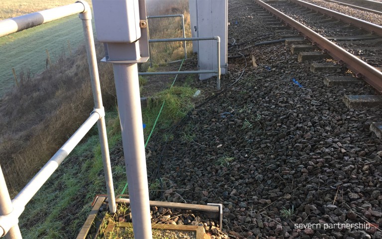
Cable Detecting Techniques:
- Electromagnetic detection (Using RD8000 and TX10 generator).
- Using passive and active cable detection techniques.
- Ground Penetrating Radar (Utilising a dual frequency IDS Detector DUO)
- Post processing, analysis and interpretation of GPR data added to AutoCAD drawing.
Additional Techniques:
- Visual inspection of manhole chambers for verification of service type and depth.
- High accuracy Trimble R10 GPS with real time corrections (VRS) to survey all detected services.
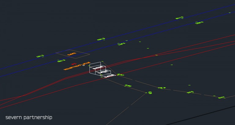
Deliverables:
- 3D AutoCAD drawing
- Utilities overlain on the topographic base-map.
- Utility Detection Report
- Detailing methods used, data quality review, highlighting areas of interest, evaluation of traced utilities against Stat plan information and further recommendations based on the client’s objectives.