Severn Partnership – River Survey for Flood Risk Assessment Summary:
Flooding from watercourses is a major problem in the UK. In order to plan flood defences and flood warning services, we need to examine and record what happens during flood events. Severe floods are generally rare, in order to improve our understanding of the mechanisms of a flood event we use computer modelling to simulate and predict the effects. These models generally cover an isolated/targeted area and form part of the Flood Risk Assessment. This is required to support any planning applications in the floodplain. Survey data is a crucial part of this process. If the survey data is inaccurate, incomplete or contains errors, the accuracy of the modelling will be greatly reduced.
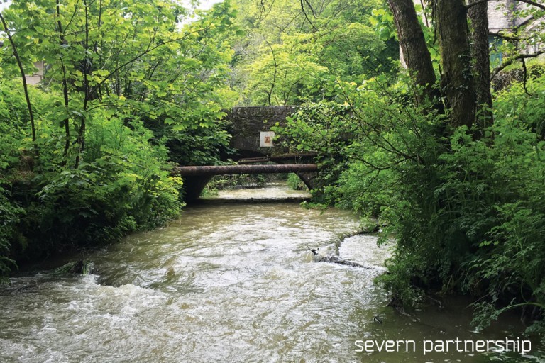
Newham River Survey – Geomatics
Project Overview:
The Severn Partnership were commissioned to complete a full river survey. The river in question was the Tory Brook, a small Devonshire river that runs through the east of Plymouth and eventually into the river Plym. The objective of the survey was to analyse the shape of the river channel for the purpose of flood avoidance schemes. A full Topographic Survey was completed of the surrounding floodplain teamed with cross sections of the river channel.
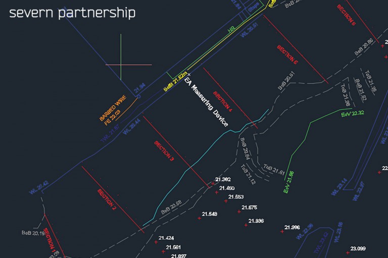
The cross sections were taken perpendicular to the river channel and positioned at regular intervals to meet the client specification and to ensure the data were representative of the entire channel pathway. Structures that affect the flow of the river, such as walls, weirs, bridges and any other major obstructions were also included in the Topographic Survey in order to create an accurate representation of the river channel. Health and safety when conducting a river survey should be of the utmost priority. Survey were completed in 2 man teams and lone-working was not permitted at any time. Personal Protective Equipment (PPE) is another important part of health and safety in the river environment. Chest waders or dry suit (dependant on water depth) with studs in the soles to minimise slipping, hi-viz clothing, life jackets and throw ropes were all utilised where appropriate.
Specification Included:
- Installation of temporary and permanent ground control
- Survey control co-ordinated by GNSS and mapped with high precision total stations.
- Full topographical survey
- Survey of 10 river cross sections in client specific locations
- Post processing, analysis and interpretation of data
Deliverables:
- Topographic survey drawing (3D AutoCAD & PDF formats)
- River channel cross sections (3D AutoCAD & PDF formats)
- CSV files of river channel cross sections