Aerial Survey UAV Golf Course:
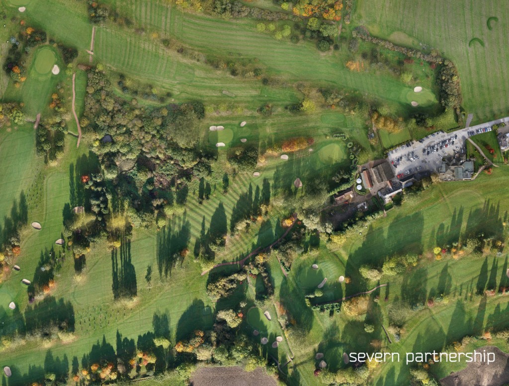
As part of the golf course redesign Severn Partnership was commissioned to produce ortho rectified aerial imagery and a detailed contour map of the course.
Project Overview:
To minimise disruption to the club members and reduce costs an unmanned aerial vehicle was deployed at 110m altitude to capture colour imagery with a 15mm resolution. Flags were placed around the course and co-ordinated the night before the survey to provide ground control which would allow the distortion in the photos to be removed and create images with the properties of a map.
Good flag placement was essential to maximise sky view but also minimise any disruption to the members so consideration had to be given to the location on the course, fairway, tee etc and the likelihood of a ball in the immediate vicinity. Once the imagery has been ‘stitched together’ a terrain model and contour plan was produced alongside the coordinated ortho photos and 3d model of the course.

Challenges:
Working on the course whilst members are playing can be tricky, particularly when you have been waiting for a nice sunny day to take the aerial photographs. Fortunately we have some keen golfers at the Severn Partnership who understand golfing etiquette and how to ‘disappear’. Using the UAV and some inconspicuous flags the entire course was surveyed in only four hours with zero disruption to the members.
Benefits:
Fast, efficient and accurate data collection. Zero disruption. Visually stunning deliverables allowing you to visit the course without being there! Great for picturing your drive from the 1st tee.
Deliverables:
From the stitched images a digital terrain model was created and contoured at 250mm intervals to provide the contour plan.