Subsurface Utility Detection Survey for Highway Construction
The A5 currently borders 3 sides of the town of Shrewsbury. Shropshire council propose to extend the A5 so that it forms a complete circle (ring road) around the town. It will be completed over multiple phases with the overall aim being to ease traffic congestion at key locations where current backlogs occur.
The client required the accurate mapping of all detectable in-ground utility services to aid the design and planning phase of the proposed highway. The Utility Detection Survey was completed in line with the client specification and the guidelines set out in The Survey Association (TSA) Guidelines as a Level 5 Utilities Survey.
Project Overview:
Severn Partnership completed the utility survey as per The Survey Association Guidelines as a Level 5 survey.
A high level survey including a dense GPR grid was collected over all areas where a high level of utility services were expected. These included highways, pavements and the immediate vicinity surrounding buildings or infrastructure. A lower level survey was undertaken in area where a low density of utility services were expected. This was mainly confined to agricultural land. In these areas GPR was collected around the perimeter of each field to identify any utility services running on to the site. Where located the utility service was then traced for its entire length across the site.
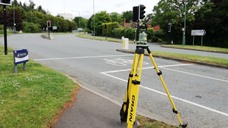
Highways:
- Highways and roundabouts were completed under traffic management conditions.
- Main highway routes were completed at night to minimise disruption to motorists.
- Care homes were present through the site, therefore extra care was taken not to restrict access for emergency services.
- Highways were owned by several different organisation (Shropshire Council, Highways England or Private).
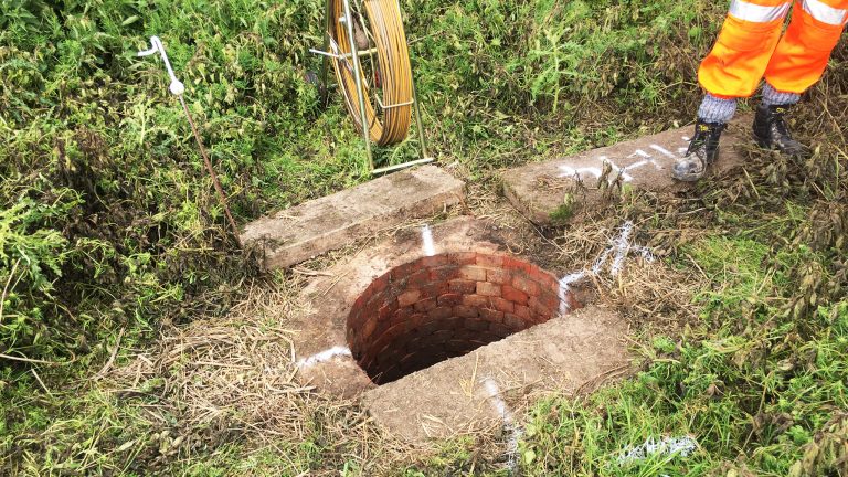
Agricultural Land:
- Most fields had been recently planted with crops or recently ploughed.
- Field boundaries mainly consisted of thick hedgerows.
- All access to private land was arranged with the landowners before the surveyors attending site.
Severn Partnership liaised with proven sub contractors to provide a full CCTV survey and report of the area.
Challenges:
- Planning works around traffic management and land access.
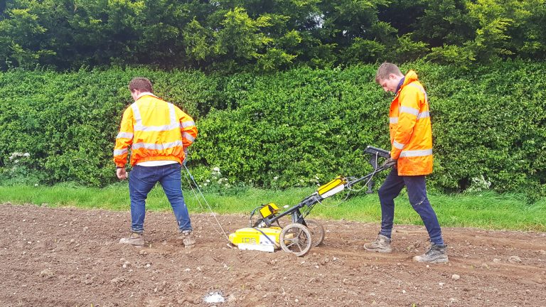
- Large fields required utility detection. For practicality and cost saving the Ground Penetrating Radar (GPR) survey within the large field areas (where Statutory Records indicated a low density of utility services) were completed as a perimeter survey. This helped to ensure that any utility services leading onto the site were located. Once located the utility service was then traced for their entire length across the site.
- Electro-magnetic tracing (cable detection) was completed over the entire site. GPR was also collected over all highways.
- All GPR data was post processed to give the highest possible chance of detecting buried services.
- Freshly ploughed fields and typical british summer rain made GPR difficult, but with some “in-house” modifications and some surveyor muscle, the fields were completed and produced some high quality data.
Benefits:
- Site survey and final deliverables completed in approximately 4 weeks.
- Mitigates the risk of damaging utilities
- Aids design and planning of the scheme
Deliverables:
- 3D Utility Detection Plan (AutoCAD and PDF formats).
- Manholes Schedule
- Utility Detection Report
- CCTV footage and Report